Introduction: In the dynamic landscape of modern business, marketing has evolved from being a mere...
LiDAR and Drones and Total Stations, Oh My! The seriously cool side of land surveying tech
Join me in exploring the exciting world of land surveying technology and equipment! Yes, you heard me right - land surveying can be fun, especially when you've got all the latest high-tech tools at your disposal. Here is a list of some of the coolest technologies and equipment used by land surveyors.

1. GPS Technology
GPS technology has become a standard tool for land surveyors. GPS (Global Positioning System) was originally developed for military use, but has been available for civilian use since the 1990s. They use satellites to determine the coordinates of a location, allowing surveyors to create precise maps and surveys. The technology has come a long way since its inception, and today's GPS devices are accurate to within a few centimeters. No more getting lost in the wilderness or struggling to find your way through urban jungles - with GPS, surveyors have their own personal navigator, guiding them through even the trickiest of terrain.
2. LiDAR Technology
Laser Beams! Like Star Wars... sort of.

Have you ever wanted to get paid to shoot laser beams at things? Well, you could if you joined the industry of land surveying. LiDAR stands for Light Detection and Ranging. Though it's not quite as cool as a Star Wars film, it does involve using laser beams to create detailed 3D maps of the land. The laser pulses bounce off of objects on the ground and return to the device, creating a precise picture of the landscape. This technology is particularly useful for creating elevation maps and identifying the location of individual trees and buildings. Plus, who doesn't want to shoot laser beams?
3. Total Station & EDM
And then there are the trusty total stations and EDM (electronic distance measuring) devices. These tools use lasers and other sensors to measure distances and angles with high precision, allowing surveyors to create detailed maps of even the most complex areas. They're like the ninja tools of the surveying world - small, unassuming, but deadly accurate.
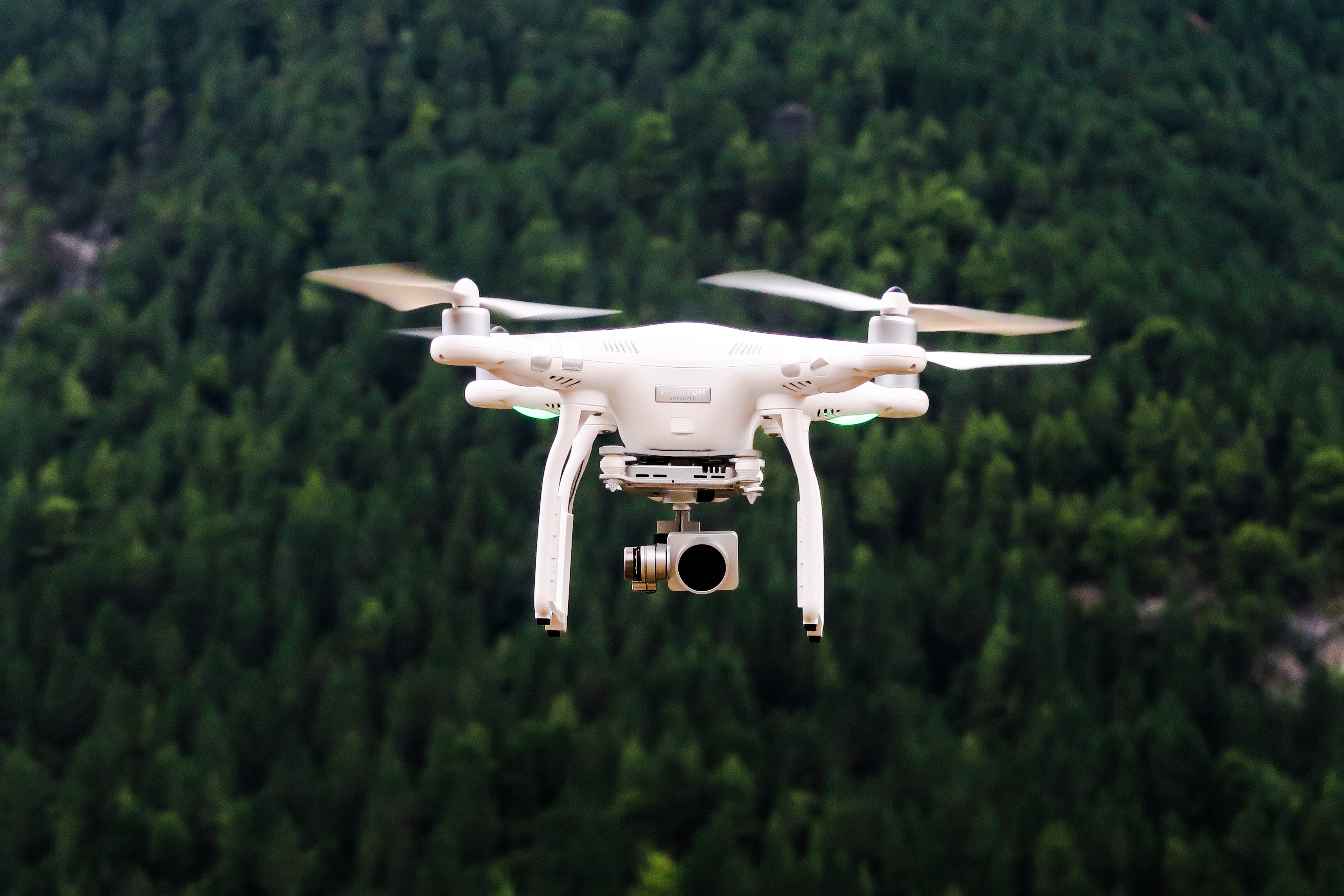
4. Drones!
The epitome of cool technology.

Drones are seriously cool. These incredible flying machines are like something out of a science fiction movie - they're sleek, powerful, and packed full of technology that is revolutionizing the way land surveying is done. With cameras and LiDAR sensors onboard, drones can capture detailed aerial images of the land below and use that data to create stunning 3D maps in a matter of minutes. It's like having a superpower - the ability to see the land from a bird's-eye view and capture every nook and cranny with pinpoint accuracy. And let's not forget the thrill of flying a drone - it's like being a pilot, but without any of the hassle or expense.
So there you have it, folks
Land surveying technology has come a long way, and it's only getting more exciting. From GPS to LiDAR to drones, there are so many innovative tools to help surveyors get the job done faster and more accurately. The possibilities are endless, and who knows what new gadgets and technologies will emerge in the future to make land surveying even more fun and efficient. So next time you see a land surveyor, be sure to ask them about their high-tech gear - you might just be surprised at how cool it all is.


